Col du Buis
Col du Buis is a mountain pass at an elevation of 1.196m (3,923ft) above the sea level, located in the Alpes-Maritimes department in the Provence-Alpes-Côte d'Azur region of South-eastern France.
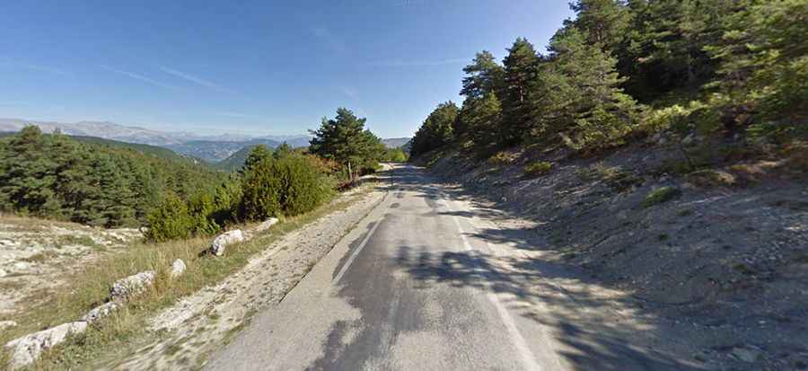
The road over the summit is asphalted, but in bad conditions. The road, called D2211, is steep and narrow, with sections up to 19%. The pass is located between Briançonnet (SW) and Vernières (NO)
There are 4 routes to reach the summit. Starting from Alpes de Haute-Provence, the ascent is 4 km long. Over this distance, the elevation gain is 189 meters. The average percentage is 4.7 % but the maximum slope is 16 %. Starting from Entrevaux, the ascent is 13.4 km long. Over this distance, the elevation gain is 681 meters. The average percentage is 5.1 %. Starting from Pont de St. Pierre, the ascent is 7.5 km long. Over this distance, the elevation gain is 296 meters. The average percentage is 3.9 %. And starting from La Serre (ponte), the ascent is 4 km long. Over this distance, the elevation gain is 411 meters. The average percentage is 10.3 %.