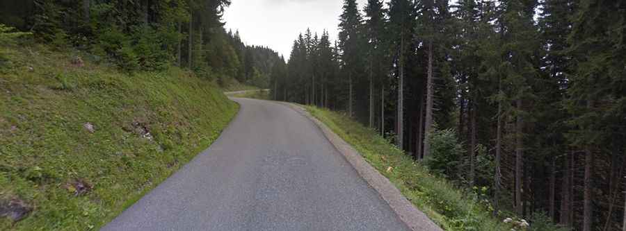
A curvy paved mountain road to Col de la Savoliere
Col de la Savolière is a mountain pass at an elevation of 1.421m (4,662ft) above sea level, located in the Haute-Savoie department of France.

Is the road to Col de la Savoliere paved?
The pass is located in the Rhône-Alpes region in the southeastern part of the country. The road to the summit is fully paved. It’s called D308.
How long is the road to Col de la Savoliere?
The pass is 20.8km (12.92 miles) long, running from D328 road to Mieussy (D907 Road). The pass is typically open all year round but short-term closures are common in winter. The road is pretty steep, hitting a 10.6% of maximum gradient through some of the ramps.