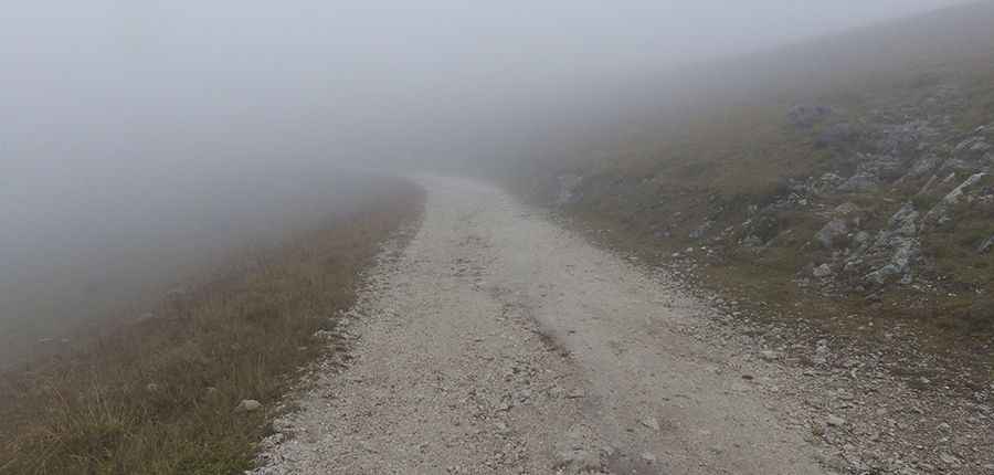
Col des Rochilles
Col des Rochilles is a high mountain pass at an elevation of 2.496m (8,188ft) above the sea level, located in the Savoie department in the Rhône-Alpes region in south-eastern France.

The road to the summit is gravel. It’s an old military road. It’s very narrow, pretty steep and closed in winters. After rain, sections of road can become decidedly hazardous when fast-flowing creek crossings and slippery mud can cause road closures. 4x4 track with experienced driver.
The road was built between 1902 and 1907. Near the summit there’s a military fortress called Ouvrage Les Rochilles, a lesser work of the Maginot Line's Alpine extension.
More pics&info: http://blog-randos.eklablog.com/topo-col-des-rochilles-2496m-lac-de-la-claree-2433m-a112598880