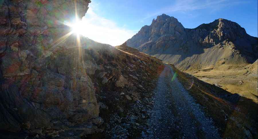
An old military road to Col de Mallemort
Col de Mallemort is a high mountain pass at an elevation of 2,543m (8,343ft) above sea level, located in the Alpes-de-Haute-Provence department of France.

Where is Col de Mallemort?
The pass is situated west of Col de Viraysse, in the Provence-Alpes-Côte d'Azur region, in the southeastern part of France, near the Italian border. At the summit, there’s a military fortress. From the summit, there are superb views of Italy, Mercantour, and the Ubaye valley.
Is the road to Col de Mallemort unpaved?
The road to the summit is totally unpaved and follows an old military route. It is narrow and suitable only for experienced drivers. Along the way, there are military constructions and fortresses. The road is winding, often just wide enough for one vehicle, with sections bordered by steep drops of hundreds of meters without guardrails. Words and pictures cannot fully capture the experience of driving this road. The drive features 34 hairpin turns. Most of them are so sharp that you’ll need to reverse to get enough space before tackling the next one. There is no turning around if you change your mind.
How long is the road to Col de Mallemort?
Starting from the paved D900 Road, the road to the summit is 9.9 km (6.15 miles) long. Over this distance, the elevation gain is 993 m and the average gradient is 10.03%. It was built between 1885 and 1888.
Is the road to Col de Mallemort open in winter?
Set high in the Cottian Alps, in the southwestern part of the Alps, the track to the summit is impassable between September and June.
Pic: Ole Christian Paasche