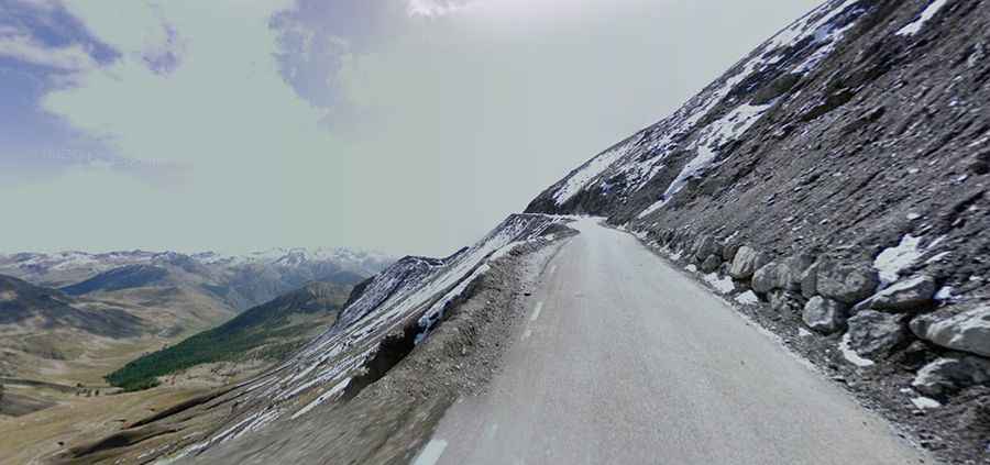
Cime de la Bonette is the highest paved road of the Alps
Cime de la Bonette is a high mountain pass at an elevation of 2.806m (9,206ft) above sea level, in the Provence-Alpes-Côte d'Azur region of France. It's one of the highest roads of Europe.

Where is Cime de la Bonette?
The pass is located in the southeastern part of the country, on the boundary between Alpes-Maritimes and Alpes-de-Haute-Provence departments.
When was the road to Cime de la Bonette built?
Tucked away in the heart of the Mercantour National Park, near the Italian border, the road was built in 1832 and the final road was completed in 1960. It was originally a mule track.
Is the road to Cime de la Bonette paved?
The road to the summit is totally paved. It’s called C1. It’s a loop road starting and ending at Col de la Bonette.
Is the road to Cime de la Bonette worth it?
The pass has been featured in the Tour de France and holds the record for the highest point the mythical race has ever reached. It is the highest through paved road in the Alps. The highest part of the road is marked with a monument. The climb is very steep, hitting a difficult 15% slope for nearly 1km. From the highest point, where there is a memorial stone and a small parking lot, you only have to walk 60m to get a fabulous panoramic view of the national park.
Is Cime de la Bonette open?
Set high in the French Alps, the road through the pass is totally impassable from late October to June due the snow. It's the highest paved road of France.