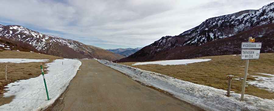
Port de Lers
The Port de Lers is a high mountain pass at an elevation of 1.517m (4,977ft) above the sea level, located in the French Pyrenees in the department of Ariège. There are numerous ramps above 10%.

The road over the pass is asphalted with some hairpin turns. It’s called D18 and links the communities of Aulus-les-Bains (west), Massat (north) and Vicdessos (east). The pass, also known as Port de l'Hers or Port de Massat, has been used several times in the Tour de France. It’s a Cat 1 climb. The pass is open throughout the year, subject to weather, but be aware that short term closures are common in winter.
There are 2 routes to reach the summit. Starting from Vicdessos, the ascent is 11.5 km long. Over this distance, the elevation gain is 807 meters. The average percentage is 7 % and the steepest section is 10.9%. And starting from Massat, the ascent is 16.6 km long. Over this distance, the elevation gain is 868 meters. The average percentage is 5.2 % and the steepest section is 8.9%. At 3.8 km (2.4 mi) from the summit is the junction with the climb to the Col d'Agnes.