Driving to Tete de la Grave in the Heart of Provence
Tête de la Grave is a high mountain pass at an elevation of 1.650m (5,413ft) above sea level, located in the Provence-Alpes-Côte d'Azur region in France. The climb can often be hard due to windy conditions and/or heat. You'll be very exposed to the elements at higher altitude on this mountain.

How long is the road to Tête de la Grave?
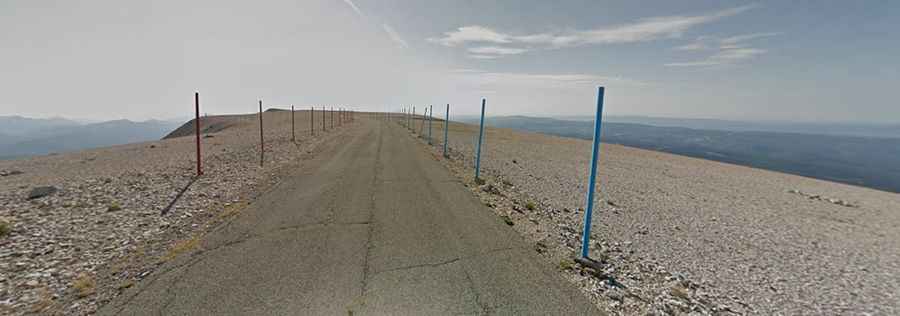
Tucked away in the southeastern part of the country, within the Mont Ventoux Natural Regional Park, the road to the summit is mostly unpaved. Starting at Col des Tempêtes, a mountain pass near the epic Mont Ventoux, the road is 3.9km (2.42 miles) long.
Is the road to Tête de la Grave paved?
Only 650 meters are paved. The last 3.3km are totally unpaved. Set high in the Savoy Alps region of the French Alps, the pass is very famous for its strong winds. It can be extremely windy at the summit, especially with the mistral; wind speeds as high as 320 km/h (200 mph) have been recorded. The wind blows at 90+ km/h (56+ mph) 240 days a year. The road to the pass can be impassable from December to April. The top of the mountain is bare limestone without vegetation or trees.