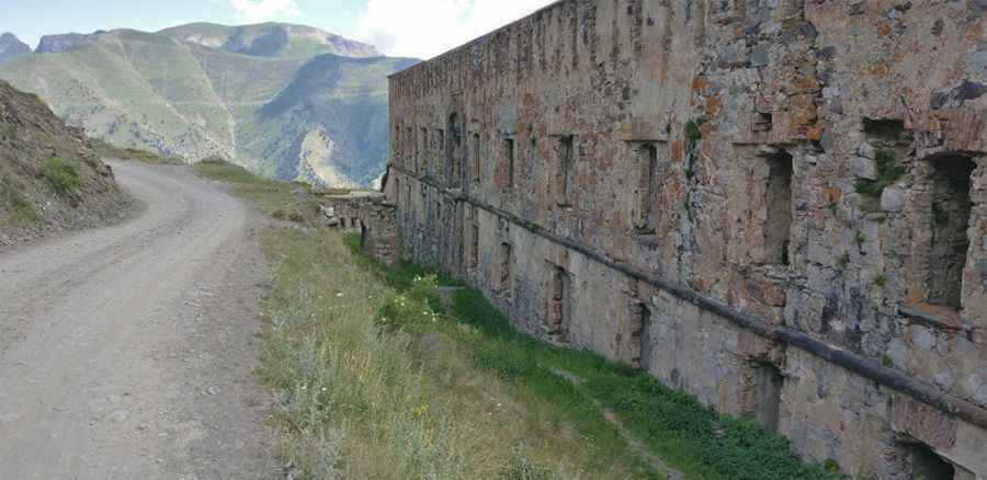
Travel Guide to the Top of Fort de la Marguerie in the Maritime Alps
Fort de la Marguerie is a high mountain fort at an elevation of 1,842 m (6,043 ft) above sea level, located in the Maritime Alps department of France.

Where is Fort de la Marguerie?
The fort is located west of the legendary Col de Tende-Colle di Tenda, in the Provence-Alpes-Côte d'Azur Region, near the Italian border, in the southeastern part of the country.
When was Fort de la Marguerie Built?
The fort is also known as Forte Margheria, Fort de la Marguerite, Fort de la Marguerie, and Forte Margaria. This Italian fort was built from 1882 to 1887 and was used during both World Wars. The fort and surrounding area became French soil after the Paris Peace Treaties in 1947.
Is the Road to Fort de la Marguerie Unpaved?
The road to the fort is completely unpaved, steep, and very narrow. Drive sensibly; it is not difficult terrain, but you must respect the fact that other users may not be in a vehicle, so drive slowly. A high clearance vehicle is required.
How Long is the Road to Fort de la Marguerie?
Starting from Saint-Dalmas de Tende, the road to the fort is 26.9 km (16.71 miles) long.
Pic: andal Huber