Col de Pierre Plate: The Road That Has it All!
Col de Pierre Plate is a mountain pass at an elevation of 1.027m (3,369ft) above the sea level, located in the Lozère department in southern France.
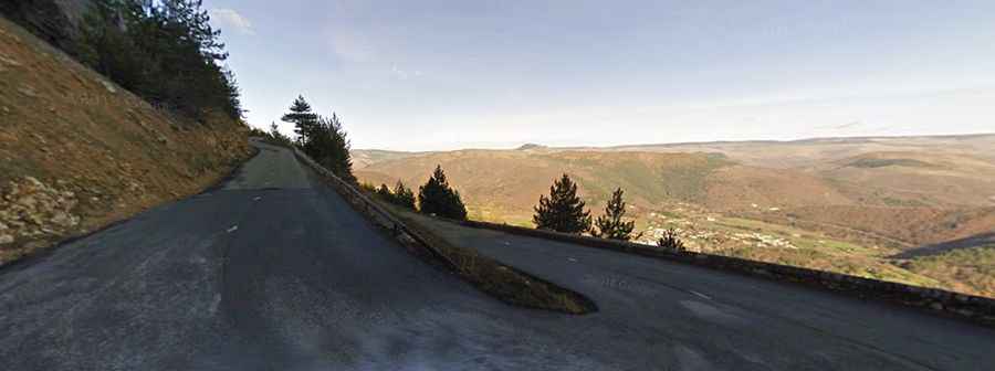
The winding road to the summit is paved, with some steep sections (topping out at 9.0%). It’s called D916. The road is 44.8km long running west-east from the village of Les Vignes towards Florac.
The road is very curvy with some narrow parts (impassable for 2 cars at the same time). It’s a winding road with 9 hairpin turns and some drop offs. Starting from Florac the ascent is 5.808 km long. Over this distance the elevation gain is 470 meters. The average gradient is 8.09 %.