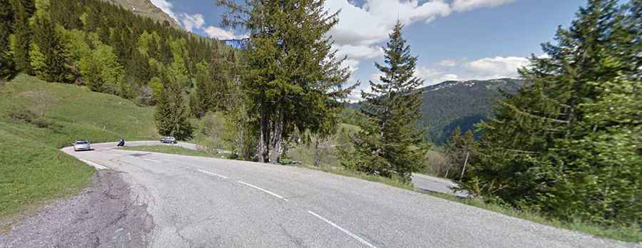
A road with very nice scenery to Col des Aravis
Col des Aravis is a mountain pass at an elevation of 1,487m (4,879ft) above sea level, located on the boundary between the Haute-Savoie and the Savoie departments of France. The pass is traversed by the scenic Route des Grandes Alpes.
Where is Col des Aravis?
The pass is located in the Auvergne-Rhône-Alpes region, in the southeastern part of the country.
Is Col des Aravis paved?
The winding road to the summit is fully paved with many hairpin turns. It’s called D909 (Route du Col des Aravis). It is the lowest pass in the Aravis mountain range. The pass has been climbed many times in the Tour de France race. The road to the summit is a bit steep, hitting a maximum gradient of 10% through some of the ramps.
How long is Col des Aravis?
Set high in the French Alps, the pass is 19.2 km (11.93 miles) long, running from the village of Flumet to the southeast and La Clusaz to the northwest. If you climb the pass in July or August, you must pay attention to the heat and cars on the road.
Is Col des Aravis worth the drive?
Climbing from the resort of La Clusaz, the arrival at the pass is greeted by an amazing view of Mont-Blanc clearly emerging from the surrounding mountains. At the summit, there’s a chapel devoted to St. Anne, founded in 1624 by Pierre-François de Belletour, lord of Flumet, for the protection of the travelers passing by.