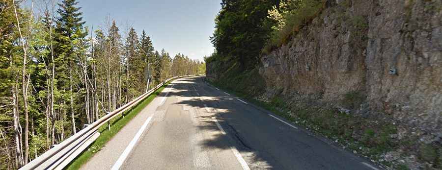
A great paved road to Col de la Faucille in the Jura Mountains
Col de la Faucille is a high mountain pass at an elevation of 1,323m (4,341ft) above sea level, located in the Ain department of France.
Where is Col de la Faucille?
The pass is located north of Geneva, in the Auvergne-Rhône-Alpes region, in the eastern part of the country near the border with Switzerland.
Is the road through Col de la Faucille paved?
The road through the summit is fully paved. It’s called RN5-D1005. The pass features countless curves and a few hairpin turns.
How long is Col de la Faucille?
The pass is 48.4km (30 miles) long, running south-north from Gex (in the Ain department in the Auvergne-Rhône-Alpes region) to Saint-Laurent-en-Grandvaux (in the Jura department in the Bourgogne-Franche-Comté region).
How busy is Col de la Faucille?
The pass is one of the best-known climbs in the Jura Mountains. It has been featured in the Tour de France since 1951. It’s a popular route for cyclists, and the road has a fair amount of traffic. Avoid the road on weekdays, as trucks use this route as a shortcut to Dijon.