The road to Mount Saleve, the "Balcony of Geneva"
Mount Saleve is a mountain peak at an elevation of 1.379m (4,524ft) above the sea level, located in the Haute-Savoie department in the Auvergne-Rhône-Alpes region in south-eastern France.
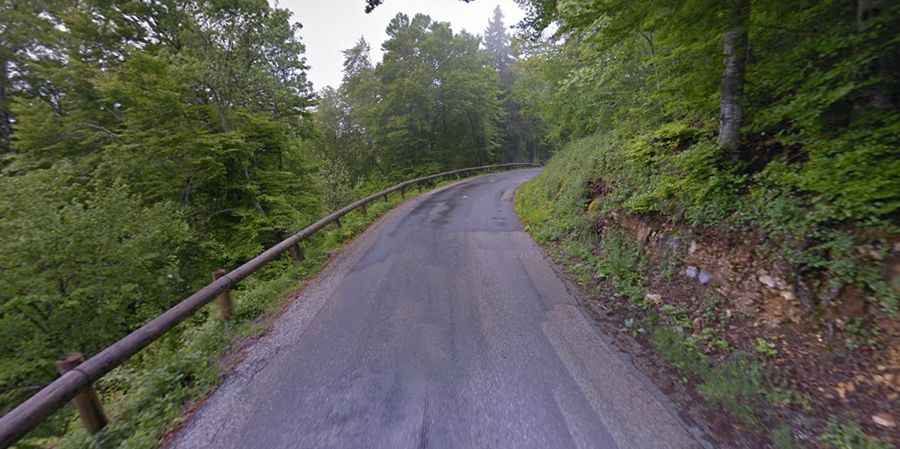
Located in the French Prealps, across the Franco-Swiss border, the road to the summit is totally paved. It’s called D41A. The pass is 23.0 km (14.29 miles) long, running south-north from Cruseilles to Étrembières. It is also called the "Balcony of Geneva". On the summit you will be treated to a magnificent view of Geneva and its surroundings, and Geneva lake basin, the airport, Jura, Dents du Midi, Aiguille Verte and Mont Blanc.
The climb is wild hitting a 10% through some of the ramps. There are 3 different routes, all of them asphalted. Starting from Collonges-sous-Salève, the ascent is 11.5 km long. Over this distance, the elevation gain is 842 meters. The average percentage is 7.3 %. The maximum slope is 15 %. Starting from Cruseilles, the ascent is 18.7 km long. Over this distance, the elevation gain is 507 meters. The average percentage is 2.7 %. The maximum slope is 8 %. And starting from Annemasse, the ascent is 15.3 km long. Over this distance, the elevation gain is 877 meters. The average percentage is 5.7 %. The maximum slope is 10 %.