Travel Guide to Pas de la Graille
Pas de la Graille is a high mountain pass at an elevation of 1,597m (5,239ft) above sea level, located in the Alpes-de-Haute-Provence department in France.
Where is Pas de la Graille?
The pass, also known as Col de Frère Jean, is situated in the Provence-Alpes-Côte d'Azur region, in the southeastern part of the country. It is connected to Signal de Lure by a gravel and challenging road.
Is Pas de la Graille Paved?
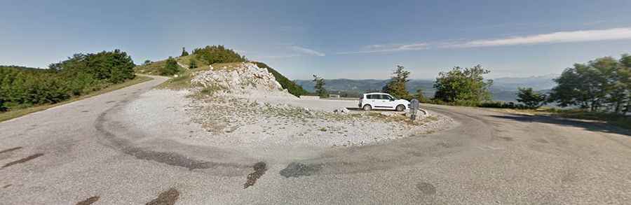
The road through the pass is now fully paved and is designated as D53. It is narrow and steep, with many sharp turns. The route mostly runs through wooded areas, but since it is steep, there are beautiful viewpoints through the trees. As you descend, the road surface becomes rougher and uneven, but it does not pose major difficulties.
How Long is Pas de la Graille?
Set high in the French Prealps, the pass is approximately 45km (28 miles) long, running south to north from Saint-Étienne-les-Orgues to Valbelle.
How Steep is Pas de la Graille?
The climb begins in Saint-Étienne-les-Orgues and ascends 18km (11.2 miles) to the summit. The gradient remains fairly consistent, making it easier to maintain a steady cadence and enjoy the ride. The steepest sections reach 8%, while other parts are at 7% and 6%. Once you exit the forest with 5km left, the slope eases to 4%, with the final kilometer at just 1%.