Val Thorens: One of the Longest and Biggest Climbs in France
Val Thorens is a ski resort at an elevation of 2,300m (7,545ft) above sea level, located in the Savoie department of France.

Where is Val Thorens Ski Resort?
The resort is situated in the Auvergne-Rhône-Alpes region, in the southeastern part of the country, within the Tarentaise Valley. The resort is the starting point for the challenging road to Orelle. Climbing up to 3.007m (9,865ft) above sea level, it is one of the highest roads of Europe.
Is the Road to Val Thorens Ski Resort Paved?
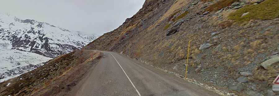
The road to Val Thorens, the highest ski resort in Europe, is breathtaking. It is called D117. It’s paved but narrow, with tight hairpin turns and bumps. There are no protections or guard rails along some parts of the route, making it a thrilling drive.
How Long is the Road to Val Thorens Ski Resort?
Set high in the French Alps, the resort has been featured in the Tour de France bicycle race. It’s one of the longest and biggest climbs in the country. Starting from Moutiers (historically known as Tarentaise), the ascent is 36.5km (22.68 miles) long, featuring 20 hairpin turns. Over this distance, the elevation gain is 1,807 meters with an average gradient of 4.95%.