Navigating the Rugged Slopes: Col de la Lezette Road Guide
Col de la Lézette is a high mountain pass at an elevation of 1.786m (5,859ft) above sea level, located in the Savoie department of France.
Where is Col de la Lezette?
The pass is located in the Auvergne-Rhône-Alpes region, in the south-eastern part of the country.
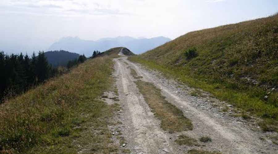
Is the road to Col de la Lezette unpaved?
Set high in the Alps, the road to the summit is mostly unpaved but navigable by most passenger vehicles. It’s called Route des Crêtes.
How long is the road to Col de la Lezette?
Starting at Les Saisies on the D218B road, the ascent is 1.8 km (1.11 miles) long. The road is very steep, hitting a 13.4% of maximum gradient through some of the ramps. Over this distance the elevation gain is 126 meters. The average gradient is 7%.
Is the road to Col de la Lezette worth the drive?
The road provides great views and the summit hosts a big parking lot and a restaurant (Le Benetton). Beyond the pass, a minor gravel road climbs up to Col de la Légette.
Pic: http://mw2.google.com/mw-panoramio/photos/medium/77959363.jpg