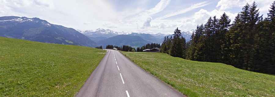
A Fantastic Road to Col des Saisies, with Great Views of Mont Blanc
Col des Saisies is a high mountain pass with an elevation of 1,657m (5,436ft) above sea level, located in the Savoie department of France. The pass is traversed by the scenic Route des Grandes Alpes.
Where is Col des Saisies?
The pass is located in the Auvergne-Rhône-Alpes region, in the southeastern part of the country.
Is the Road to Col des Saisies Paved?
The road to the summit is fully paved and is called D218B. It stretches for 26.8 km (16.65 miles), running from Notre-Dame-de-Bellecombe to Villard-sur-Doron.
How Steep is the Road to Col des Saisies?
The pass is frequently featured in the Tour de France. The road to the summit is steep, with a maximum gradient of 11.4% in some sections. However, the arrival at the col can feel somewhat underwhelming, as there’s no striking summit like the Colombière or the Madeleine — just a flattening out as the road passes through a semi-deserted ski resort.
Is Col des Saisies Open in Winter?
Set high in the French Alps, the pass is generally open year-round, but it can be closed at any time if the access is not cleared of snow.