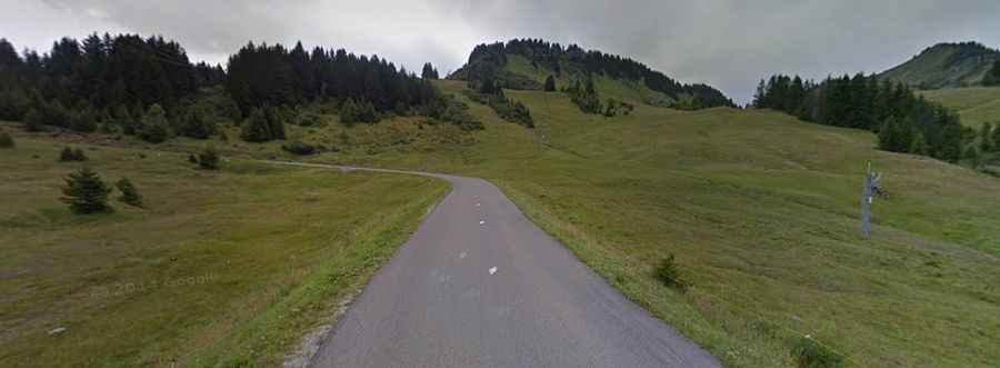
Road trip guide: Conquering Col de la Ramaz
Col de la Ramaz is a high mountain pass at an elevation of 1.549m (5,082ft) above the sea level, located in the Haute-Savoie department in the Auvergne-Rhône-Alpes region of France.

Set high in the Alps, the road to the summit is totally paved. It’s called D308. The road is of the classic switch back hairpin corner variety rising up. The most dangerous part of the road, a narrow stretch along the edge of a cliff that still exists, was replaced by a tunnel some years ago.
The pass offers an exceptional view of the Mont Blanc range. The pass is 20.5 km long, running from Mieussy to D328 road. The road tops out at 1.619m (5,311ft) above the sea level. The road to the summit is very steep, hitting an 18 % of maximum gradient through some of the ramps.
The pass has been featured in the Tour of France race. There are 3 routes to climb the summit. Starting from Taninges, the ascent is 16 km long. Over this distance, the elevation gain is 970 meters. The average percentage is 6.1 %. Starting from Mieussy, the ascent is 14 km long. Over this distance, the elevation gain is 960 meters. The average percentage is 6.9 %. And starting from Taninges, the ascent is 13.42 km long. Over this distance, the elevation gain is 960 meters. The average percentage is 7.1 %.