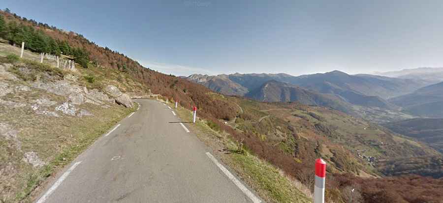
Driving the Mythical Road to Col d'Aspin in the French Pyrenees
Col d'Aspin is a high mountain pass at an elevation of 1,489m (4,885ft) above sea level, located in the department of Hautes-Pyrénées, in France.

Where is Col d'Aspin?
The pass is located in the Occitania region, in the southwestern part of the country. At the summit, there is a large parking lot.
Why is Col d'Aspin famous?
The pass has been climbed in both the Tour de France and Vuelta a España bicycle races. Since it’s close to several other high Pyrenean passes, such as the Peyresourde and Tourmalet, Tour de France route designers often include Col d'Aspin in the race.
Is Col d'Aspin paved?
The road to the summit is fully paved but somewhat bumpy. It’s called D918. The climb is gradual, without any long sections over 9%, making it a good challenge for moderately fit cyclists or for combining with other climbs. It’s much quieter in June or September than in the summer.
How long is Col d'Aspin?
The pass stretches 31.0 km (19.26 miles), running south-north from Arreau to Campan. Kilometer signs along the route show the average gradient, elevation, and distance. Cattle and horses often roam near the summit.
Is Col d'Aspin worth the drive?
Set high in the French Pyrenees, the pass offers magnificent views and amazing panoramic scenery, especially of Lake Payolle and its pine forest, as well as the Pic du Midi observatory.