Col du Pre is a narrow quiet road with lots of hairpins
Col du Pré is a high mountain pass at an elevation of 1,703m (5,587ft) above sea level, located in the Savoie department of France.
Where is Col du Pré?
The pass is located in the Auvergne-Rhône-Alpes region, in the southeastern part of the country.
Why is it called Col du Pré?
The name "Monte de Col du Pre" is taken from a sign at the top of the road, which reaches a little higher than the pass itself, at 1,755m (5,757ft) above sea level.
Is Col du Pré paved?
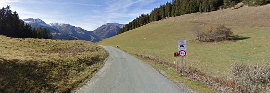
Set high in the French Alps, the road to the summit is totally paved. It's a narrow, quiet road with lots of hairpins. It's sheltered from the wind and gets very warm.
How long is Col du Pré?
The pass is 10.9km (6.77 miles) long, running from Col de Méraillet to Les Gérats. The climb featured in the Tour de France race. The road to the summit is very steep, hitting a maximum gradient of 13.0% through some of the ramps. There are 3 sections of around 11%, and the last one and a half kilometers is on average above 10%.
Is Col du Pré worth it?
At the top of the Col du Pré, the view over the deep blue Lac de Roselend and its dam, as well as the mountains, is simply stunning. The views of Mont Blanc as you near the summit are truly spectacular.