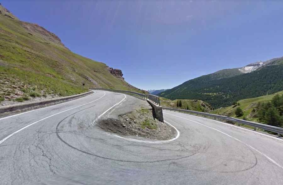
Larche Pass is an awe-inspiring drive in the Alps with 16 hairpin turns
Col de Larche-Colle della Maddalena is an international high mountain pass at an elevation of 2.005m (6,578ft) above sea level, located on the border of Italy and France.

Where is Larche Pass?
The pass is located on the border between the Alpes-de-Haute-Provence department in southeastern France and the Province of Cuneo in the northern Italian region Piedmont. The pass links the Stura valley in Italy and the Ubaye valley in France.
Is Larche Pass paved?
The road through the summit is fully paved. On the Italian side, the road to the summit (Colle della Maddalena) is called Strada Statale 21. On the French side, the road to the summit (Col de Larche) is called D900.
Is Larche Pass open?
Set high between the Cottian Alps and the Maritime Alps, the road to the summit, also known as Col de l'Argentière, is open all year round except during heavy snowfalls.
What’s on the summit of Larche Pass?
The summit hosts a souvenir shop and a big parking lot. At the summit, a statue celebrates the victory of Fausto Coppi during the Giro of 1949.
How challenging is Larche Pass?
The drive is pretty challenging, with 16 sharp hairpin turns. Note that cycling on the French side from Les Gleizolles to the pass is officially forbidden due to hazards of rock falls/landslides. It is a very easy climb, never steeper than around 8%.
How long is Larche Pass?
The pass is 12.3km (7.64 miles) long, running from Val-d'Oronaye (France) to Argentera (in Italy).