Guide to the top of Pic Maido in Réunion
Pic Maïdo is a high mountain peak at an elevation of 2.189m (7,181ft) above sea level, located in Réunion, an overseas department of France in the Indian Ocean, to the east of Madagascar.

Can you drive to Pic Maïdo?
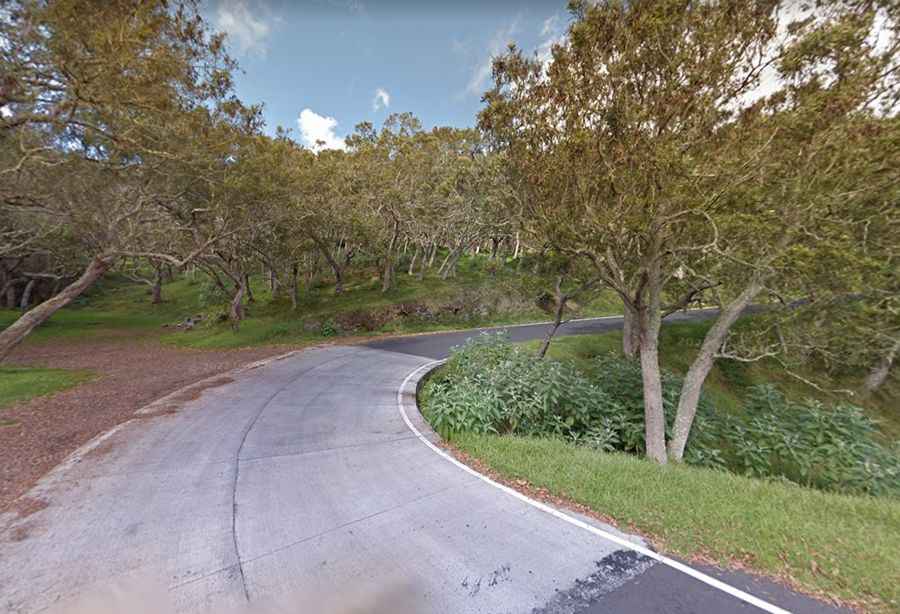
Set high in the Piton des Neiges massif, on the western part of the island, the road to the summit, a volcanic peak nicknamed the balcony of Reunion Island, is totally paved but pretty narrow and curvy. It’s called Route Forestière n°8 du Maïdo (Maïdo Forest Road).
How long is the road to Pic Maïdo?
Starting at RF6 road, the ascent is 5.4 km (3.35 miles) long. Over this distance the elevation gain is 424 meters. The average gradient is 7.85%. The road is very steep, hitting a 12% of maximum gradient through some of the ramps.
Is the road to Pic Maïdo worth it?
The road ends on a parking lot and the summit hosts a climatological station. It’s a very scenic drive, with sweeping views of the sea and the nature reserve. The Maïdo peak overlooks the Cirque de Mafate by more than 1000 m and the west coast of the island.