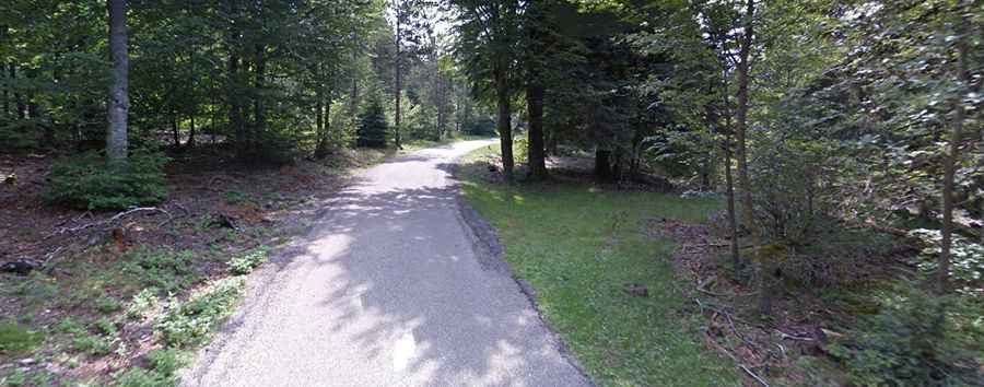
A paved road to the summit of Col de la Luzette in the Massif Central
Col de la Luzette is a mountain pass at an elevation of 1,350m (4,429ft) above sea level, located in the Gard department of France.
Col de la Luzette is a mountain pass at an elevation of 1,350m (4,429ft) above sea level, located in the Gard department of France.
Where is Col de la Luzette?
The pass, also known as Col de la Lusette, is located in the Occitania Region, in the southern part of the country, within the Cévennes National Park.
Is Col de la Luzette paved?
The road to the summit is fully paved but pretty narrow in parts, with 15 hairpin turns. It’s called Route Départementale 329 (D329).
How long is Col de la Luzette?
The road through the pass is 14.7 km (9.13 miles) long, running south-north from Mandagout to L'Espérou.
How challenging is Col de la Luzette?
This is the hardest climb you can find in the whole Massif Central. This climb has many irregularities and some very steep parts, which is why you don't see the same profile on every website. The climb hits about 14-15% of maximum gradient through some of the corners.