A Hairpinned Paved Road to Col du Coq
Col du Coq is a mountain pass at an elevation of 1,434m (4,704ft) above sea level, located in the Isère department of France. This climb is definitely harsh and grueling.
Where is Col du Coq?
The pass is located in the Auvergne-Rhône-Alpes region, in the southeastern part of France. Col du Coq was once home to a small ski station near Grenoble, situated on the northwest-facing slopes behind the Dent du Crolles. To reach the station, skiers had to cross a 1,400-meter unsurfaced road pass before descending to a large parking area. The ski station closed in 2012.
How Long is the Road to Col du Coq?
The pass stretches about 25km (15 miles), running from Saint-Pierre-de-Chartreuse to Saint-Nazaire-les-Eymes.
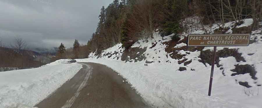
Is the Road to Col du Coq Paved?
Set high in the Chartreuse Mountains, the pass is traversed by the D30E road. The road is fully paved yet quite challenging. Midway up, there are two dark tunnels that are damp and leaking inside.
How Challenging is Col du Coq?
The pass has been climbed in the Tour de France and presents similarities to the Alpe d'Huez. In fact, when comparing the two, they are practically identical—similar length, steepness, difficulty, and even the same number of hairpin turns.