Dare to Drive the Challenging Col de Spandelles
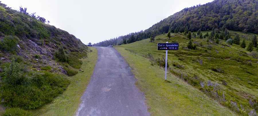
Col de Spandelles is a mountain pass at an elevation of 1,378m (4,520ft) above sea level, located in the Hautes-Pyrénées department in France.
Where is Col de Spandelles?
The pass is located west of Argelès-Gazost, in the Occitania region, in the southwestern part of the country.
How long is Col de Spandelles?
The pass is 17.2 km (10.68 miles) long, running north-south from Ferrières to Aucun.
Is Col de Spandelles paved?
The road through the summit is called Route du Col de Spandelles. On the northern side, the road is fully paved but not in the best condition, featuring potholes and very narrow sections. On the southern side, beyond Refuge du Haugarou, the road is mostly unpaved, narrow, and steep.