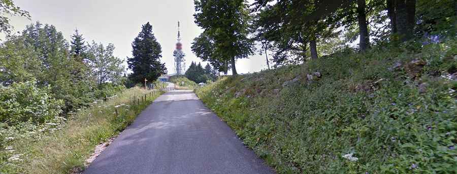
Mont du Chat is one of the toughest paved climbs in France
Mont du Chat (Cat’s Mountain) is a brutal mountain pass at an elevation of 1,504 meters (4,934 feet) above sea level, located in the Savoie department of France. It’s said to be one of the toughest paved climbs in France, with a 15% gradient in some sections.

Where is Mont du Chat?
The pass is located in the Rhône-Alpes region, in the southeastern part of the country.
Is Mont du Chat paved?
The pass is traversed by the D42 road, which is fully paved. The roadway on both sides of the col is in excellent condition, and there is very little traffic on either side.
How steep is Mont du Chat?
The pass has been featured in the Tour de France and the Critérium du Dauphiné cycling races. It’s one of France's toughest and most unrelenting climbs, averaging nearly 9% over 14.4 km. After the first 2 km, it never dips below 8% again. Its reputation is fierce, and its aura is formidable. It’s one of the most formidable climbs in France, known for its terrifying steepness. Starting at just 250 meters beside the beautiful Lac du Bourget, the climb finishes at about 1,500 meters. The climb reaches a maximum gradient of 15% on some ramps.
What’s at the summit of Mont du Chat?
At the summit, there is a parking lot with communication facilities, a bar-restaurant, and an observation deck known as Belvédère du Mont du Chat, offering a breathtaking panoramic view of Lac du Bourget.
Is the road to Mont du Chat open in winter?
Set high in the Jura Mountains, the road to the summit is closed from November to March.
How long is the road to Mont du Chat?
The pass is 22.2 km (13.79 miles) long, running east-west from Le Bourget-du-Lac to Cremaire.