How to get by car to Lac des Bouillouses in the Pyrenees?
Lac des Bouillouses is a high mountain lake at an elevation of 2,016m (6,614ft) above sea level, located in the Pyrénées-Orientales department, in France.

Where is Lac des Bouillouses?
The lake, also called Llac de la Bollosa, is located in the Occitania region, in the southern part of the country. The lake and the dam were created to supply hydroelectric energy to Le Train Jaune. As with any mountain outing, arrive early to get the best light and to explore the area at a leisurely pace, before any possible afternoon storms (which are frequent in summer).
How long is the road to Lac des Bouillouses?
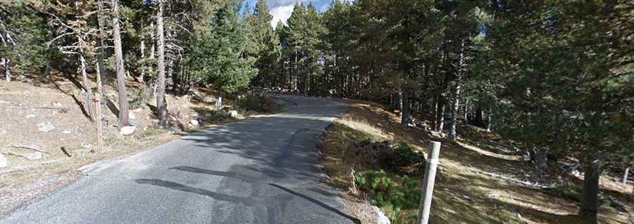
The curvy road to the lake is fully paved. It's called D60. Starting from Mont-Louis, the ascent is 12.8 km (7.95 miles) long. Over this distance, the elevation gain is 418 meters. The average gradient is 4.18%. The road is pretty steep, with sections up to 9.2%. It’s said to be the highest lake accessible by road or cable car in the Pyrenees.
Is the road to Lac des Bouillouses open?
In winter, the road is totally closed due to snow, and in summer, there are restrictions between 7 AM and 7 PM. However, the last part is always closed to motor vehicles. This area used to be overrun by traffic, but access is now restricted to shuttle buses that depart from the road known as "les Bouillouses", or by cable car from Font-Romeu (direct) or from Les Angles (a 2-hour walk).