Driving an Iconic Alpine Road with Hundreds of Turns to Col des Champs
Col des Champs is a high mountain pass at an elevation of 2,092m (6,863ft) above sea level, located in the Provence-Alpes-Côte d'Azur region of France.

Where is Col des Champs?
The pass is located on the border between the departments of Alpes-de-Haute-Provence and Alpes-Maritimes, in the southeastern part of the country, within the Mercantour National Park.
Is Col des Champs Paved?
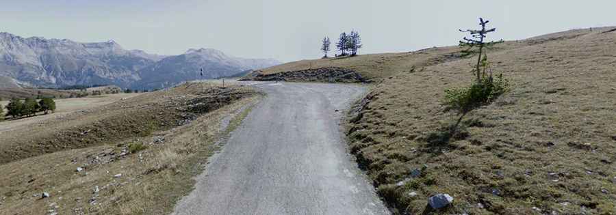
The road to the summit is fully paved. It’s called D78 (southern side) and Route Départementale 2 (northern side). It’s a superb, hairpinned route, but the surface is rough and very bumpy. The road features countless curves, many of them hairpin turns.
Is Col des Champs Open in Winter?
Set high in the Alps, the road is open to traffic throughout the year but may be closed for short periods in winter due to bad weather.
How Long is Col des Champs?
The pass is 27.7 km (17 miles) long, running from Saint-Martin-d'Entraunes (in the Alpes-Maritimes department) to Colmars or Colmars-les-Alpes (in the Alpes-de-Haute-Provence department).
How Steep is Col des Champs?
The road is very steep in parts, reaching a 12.0% maximum gradient in some sections. Starting from Saint-Martin-d'Entraunes, the ascent is 16.26 km long, with an elevation gain of 1,052 meters. The average gradient is 6.5%. From Colmars, the ascent is 12 km long, with an elevation gain of 842 meters and an average gradient of 7%.