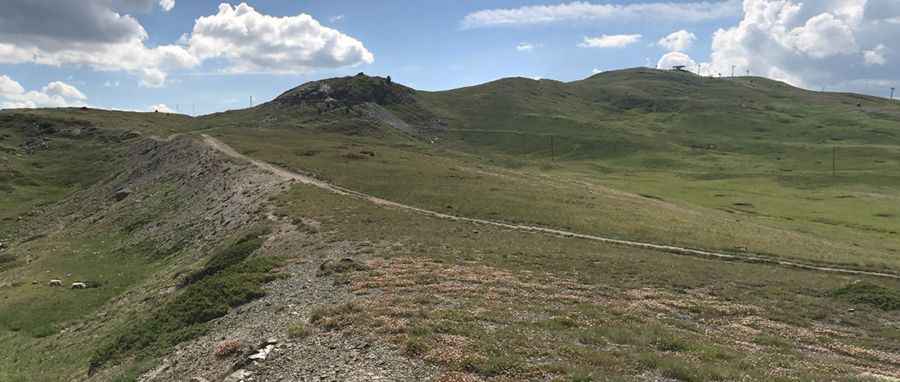
A military unpaved road to Col des Gondrans in the Hautes-Alpes
Col des Gondrans is a high mountain peak at an elevation of 2,347 m (7,700 ft) above sea level, located in the Hautes-Alpes department of France.

Where is Col des Gondrans?
The peak is located in the Provence-Alpes-Côte d'Azur region in the southeastern part of the country.
When was Col des Gondrans built?
The summit hosts Ouvrage du Gondrans, a military fortress. It was part of the Maginot Line's Alpine extension, known as the Alpine Line. The fortification consists of one entry block, one infantry block, and one observation block. The construction of Gondrans began in June 1933.
How long is the road to Col des Gondrans?
The road to the summit is completely unpaved. A 4x4 vehicle is required. Starting from the paved D902 road near Briançon, the road to the military fortress is 12.9 km (8.01 miles) long. It is usually impassable in winter.
Pic: Tierney White