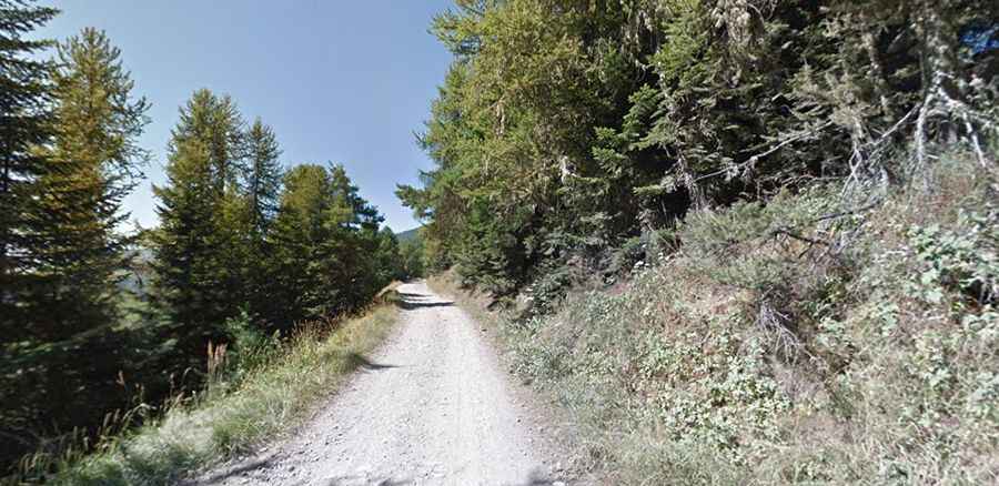
An old military unpaved road to Sanson Pass in the Ligurian Alps
Sanson Pass is an international high mountain pass at an elevation of 1.694m (5,557ft) above sea level, located on the border between France and Italy.

Where is Sanson Pass?
The pass, also known as Colla di Sanson, Bassa di Sanson o Baisse de Sanson, links the Alpes-Maritimes department of the Provence-Alpes-Côte d'Azur region in southeastern France and the Province of Imperia in the Italian region Liguria.
Is the road to Sanson Pass unpaved?
This unpaved cart-road up is a former military road, a long transverse pass near the military barracks named to the First Alpine Regiment and the road takes drivers to the ruins of the six barracks of Marta. The entire road is gravel without exception. The condition varies widely and accordingly, the driving skills requirements are different.
How long is Sanson Pass?
The road is 41.5 km (25.78 miles) long, running from Road D43 near La Brigue (in the southeastern part of France) to Strada Provinciale 548 near Molini di Triora (in the northwestern part of Italy).
Is Sanson Pass worth the drive?
Set high in the Ligurian Alps, a mountain range, along this trail you’ll come across many military constructions such as roads, fortifications, small barracks etc, built before the Second World War to defend the Italian frontier from possible attack by France. By the way, there is a very interesting branch leading to Balcone di Marta, where an enormous fortress is now hidden away beneath its meadows. Other branches lead off to the ancient villages of Realdo and Verdeggia, picturesque little hamlets belonging to the Commune of Triora. These clustered dwellings were built by shepherds on the mountainside.