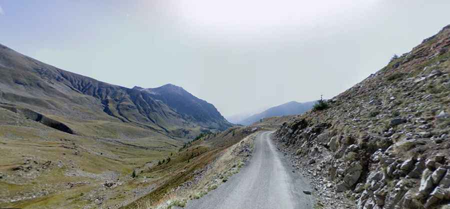
Col de la Moutiere is a road with intimidating drop offs
Col de la Moutière is a high mountain pass at an elevation of 2,450m (8,038ft) above sea level, located in the Provence-Alpes-Côte d'Azur region of France. The road is extremely narrow, and the drop-offs are a bit intimidating. There’s only enough room for one car to go up, and there is no turning around if you change your mind.

Where is Col de la Moutiere?
The pass is located in the French Alps, on the boundary of Alpes-Maritimes and Alpes-de-Haute-Provence departments, in the southeastern part of the country.
Is Col de la Moutiere paved?
The virtually deserted road to the summit is entirely paved – if bumpy. It’s very narrow, with precipices at all times on one side or the other, or both sides. Be aware that this drive is not for timid drivers or those afraid of heights. This quiet road enters a different valley, climbing through sparse woods before opening up above the tree line to great views — dominated by Cime de la Bonette far above.
How long is Col de la Moutiere?
The road to the summit is one of France’s hidden gems. Starting at Saint-Dalmas-le-Selvage, the road is 11.1 km (6.89 miles) long. It’s a very steep drive, hitting a 15% maximum gradient through some of the ramps. The elevation gain is 952 meters, with an average gradient of 8.57%. There is a long series of hairpins in the somewhat wooded landscape, but there are also fine views. The road is often at around 14% until one eventually reaches a plateau, which is also the place the few cars go to when going up here.
Is Col de la Moutiere open?
Tucked away in the Mercantour National Park, this road is usually impassable from late October through late June or early July. The summit hosts a military fortification known as Ouvrage La Moutière (Fortification du Col de la Moutière), part of the Maginot Line's Alpine extension.
Can I drive from Col de la Moutiere to Faux Col de Restefond?
North of the pass, a short gravel road leads to Faux Col de Restefond, at 2,656m (8,713ft) above sea level, within the ravin de Restefond. The track is 3.2km long and gravel. Only 4x4 vehicles with experienced drivers are recommended for this section, which is very prone to mountain slides. You will see the Cime de la Bonette on the last part to the pass up to the right above you.