Driving the narrow road to Col de Pradel in Occitania
Col de Pradel is a high mountain pass at an elevation of 1,696m (5,564ft) above sea level, located in the Occitania region of France.
Where is Col de Pradel?
The pass is located near Ax-les-Thermes, to the north of the iconic Port de Pailhères, on the boundary between the Ariège and Aude departments, in the southwestern part of the country.
Is Col de Pradel paved?
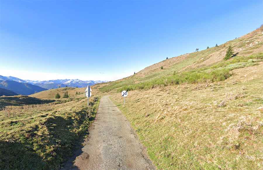
The road through the summit is fully paved, yet not in the best condition. It’s called Route Départementale 107 (D107) in the Aude department and Route Départementale 25B (D25B) in the Ariège department. The drive includes extremely narrow sections, a few sharp turns, and steep inclines, reaching a maximum gradient of 12.9% in some areas.
How long is Col de Pradel?
The pass is 20 km (12.4 miles) long, running south to north from Ascou (Ariège department) to Niort-de-Sault (Aude department), passing through the challenging Gorges de Rebenty.
Is Col de Pradel open in winter?
Set high in the Pyrénées mountain range, the road is closed to traffic during the winter months due to heavy snowfall.