A challenging road to Col de Creu in the Pyrenees
Col de Creu is a high mountain pass at an elevation of 1,712m (5,616ft) above sea level, located in the Occitania region of France. It’s one of the French balcony roads.
Where is Col de Creu?
The pass, also known as Coll de Creu, is located in the Pyrénées-Orientales department in the southern part of France, near the Spanish border.
Is Col de Creu challenging?
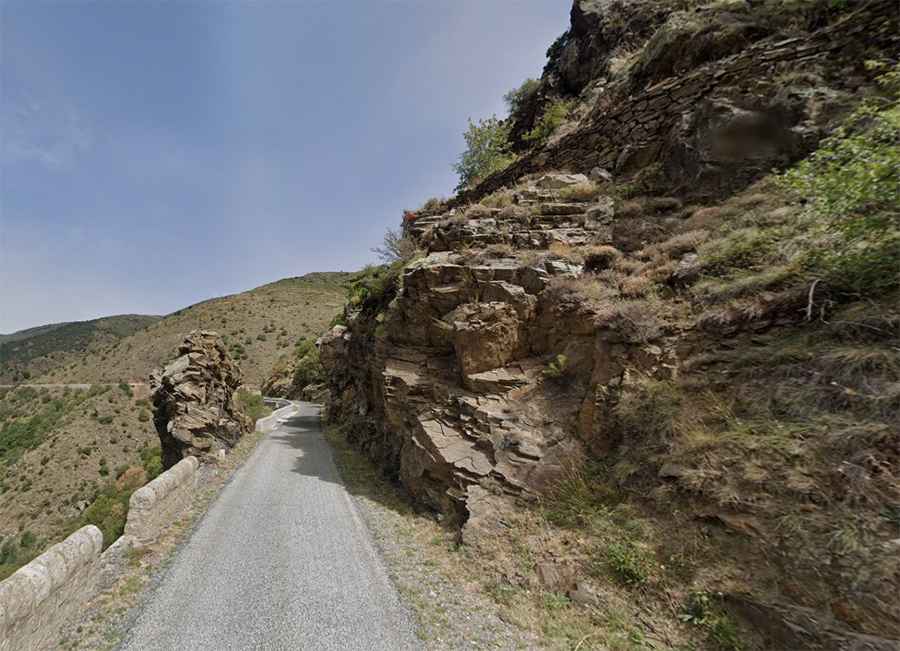
The road to the summit is entirely paved and is called D4 Road. Running through Ribera de Cabrils and Rec de Ralleu rivers, the road is narrow in parts, with low barriers. The drive is challenging in parts and has a maximum gradient of 12% through some of the ramps. It is a lonely drive, with not much population in the area, and the road has barely been improved in the last 10 years. The road is very exposed to the sun and wind, and there may be gravel on the ground due to rockfalls, especially after continuous days of rain and wind. It can also be blocked by snowy days.
How long is Col de Creu?
The road is 27.8 km (17.27 miles) long, running west-east from Formiguères to Olette. It is a classic road trip for bikers and motorbikers on their days off, festive days like summer, and weekends.
Road suggested by: jorge manuel gómez sánchez