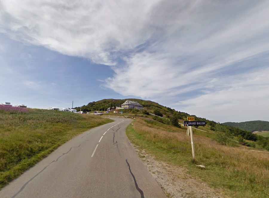
An iconic road to Col du Grand Ballon in the Vosges Mountains
Col du Grand Ballon is a mountain pass at an elevation of 1.343m (4,406ft) above the sea level, located in the Haut-Rhin department of the Grand Est region, in France.
Is Col du Grand Ballon paved?
Located in the north-eastern part of France, the road to the summit is totally paved. It’s called D431G. The road is part of Route des Crêtes. The French military made the decision to build a road to follow the ridge during World War I, enabling quicker movement of French troops by making it simpler to access the valleys on both sides. The majority of the path lay slightly below the mountain to the west, shielding it from German artillery fire.
How long is Col du Grand Ballon?
The pass is 28.7 km (17.83 miles) long, running south-north from Cernay to Le Markstein ski resort. The summit hosts a parking lot, a hotel, restaurants etc. From the top of the mountain you have a wonderful view. The road is quite busy but remains in very good condition.
Is Col du Grand Ballon defiant?
Set high in the Vosges Mountains of France, the road is pretty steep, hitting a 10.7% of maximum gradient through some of the ramps. There are lots of hairpins and gradient changes and a few corners are cobbled which could be slippery in the wet. The pass has featured in the Tour de France race.