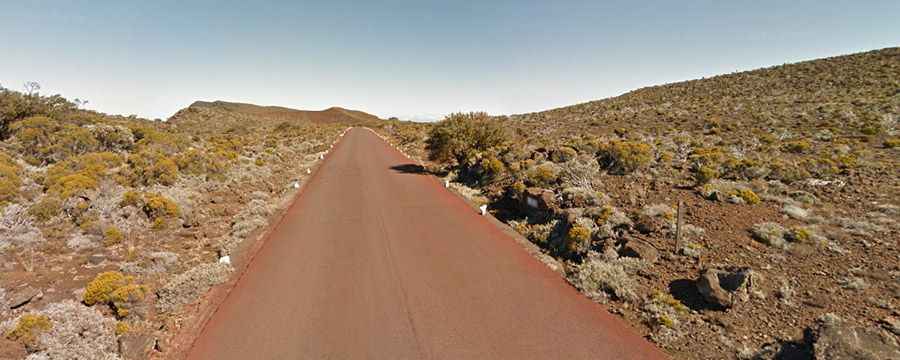
Pas des Sables, a road through a lunar landscape
Pas des Sables is a high mountain pass at an elevation of 2.374m (7,788ft) above the sea level located on the eastern side of Réunion island in the Indian Ocean.

The road to the caldera is called Route Forestière 5 du Volcan, also known as Volcano Road (Route du Volcan). It’s paved and pretty steep just like the surface of the moon. Do not forget to protect yourselves: if the weather is beautiful you can get sunburned (because of the reverberation on the lava), bring a cap and a solar cream. If the weather goes bad, you can hardly see a thing and walking becomes riskier for that reason, always plan "wide" schedules. Due to its elevated position, the area receives considerable amounts of rainfall, especially during tropical storms.
There’s plenty of parking at the summit. The drive is 16.7 km (10.37 miles) long. Over this distance the elevation gain is 757 meters. The average gradient is 4.53%. The road ends at Pas de Bellecombe, a high mountain pass at an elevation of 2.361m (7,746ft) above the sea level.