The Archipelago Ring Road of Finland: Exploring the Islands
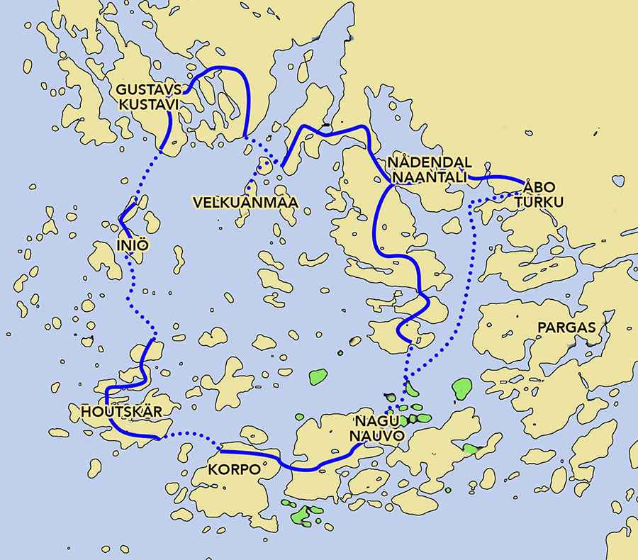
The Archipelago Ring Road, established in 1996, is a 155-mile (250-kilometer) route through Southwest Finland's islands. It connects major islands and offers a practical way to explore the region's coastal landscapes.
Where does the Archipelago Ring Road start and end?
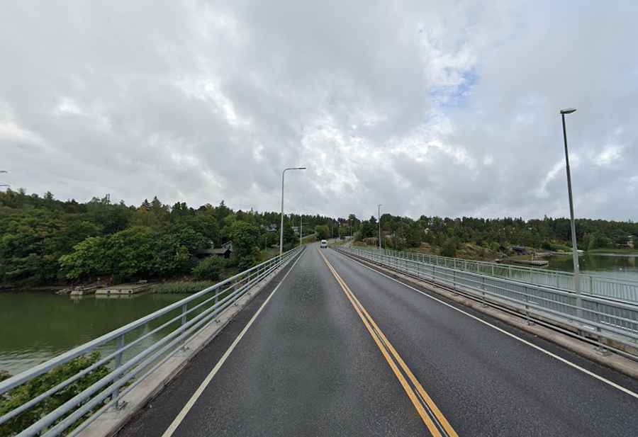
The route starts in Turku and extends to Naantali, passing through various islands. Travelers can choose to drive, cycle, or use a motorcycle. The journey includes roads and ferry crossings.
Are there ferries along the Archipelago Ring Road?
The road includes three main ferry crossings and two smaller ones, most of which are free. A small fee applies between Houtskär and Iniö. These ferries serve as vital links between the islands.
Where is the best place to start driving the Archipelago Ring Road?
You can begin the route in either direction—clockwise or counterclockwise.
How busy is the Archipelago Ring Road?
The trail attracts about 20,000 visitors annually. It became an official tourist route in 1996, but its appeal has long been recognized.
How long is the Archipelago Ring Road?
The route includes 118 miles (190 kilometers) of public roads and 31 miles (50 kilometers) of waterways. Key stops include Turku, Raisio, Naantali, and Merimasku.
How long does it take to drive the Archipelago Ring Road?
While the trip can be completed in one day, spending two nights on the journey is recommended. For an extended experience, consider a day trip to Utö, one of Finland's most remote islands.
When is the best time to drive the Archipelago Ring Road?
The route is best traveled between May and August, when all ferries operate daily. Some ferries also run in early September. If you’re considering a winter vacation in Finland, note that access to the Archipelago Trail is limited during winter, and you'll need to prepare for cold weather conditions.
Map and more info:https://www.aland.travel/archipelago-trail