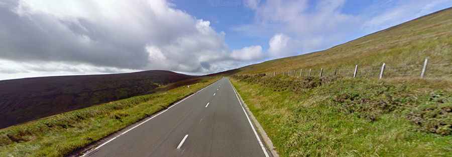
Driving the Awe-Inspiring Snaefell Mountain Road in the Isle of Man
Snaefell Mountain Road is a leading motorsport destination located on the north east of the Isle of Man.

Where does Snaefell Mountain Road start and end?
The curvy road, also known as Mountain Road or A18, is fully paved and links the towns of Douglas (the capital and largest settlement of the isle, located at the mouth of the River Douglas) and Ramsey (a coastal town in the north of the isle).
How long is Snaefell Mountain Road?
The road is 15.30 miles (24.62 km) long. It was developed in the mid-19th century from a number of pre-existing roads, cart tracks, and bridle paths. Its highest point is near Snaefell Mountain, at an elevation of 422m (1,385 ft) above sea level. There is a high risk of landslides.
What is the Isle of Man TT Mountain Course?
The mountain road forms part of the Snaefell Mountain Course, also known as the Mountain Course, a road-racing circuit used for the Isle of Man TT and Manx Grand Prix races held on the Isle of Man since 1911 and 1923, respectively. The Isle of Man has been a major motorsport destination since 1904, when racing was legalized on public roads. The Isle of Man is one of the few British territories with no national speed limit. It is estimated that there are over 200 corners on the Mountain Course, with about 60 named after individuals. Between 1911 and 2023, there have been 266 rider fatalities during official practices or races on the Isle of Man TT Mountain Course.