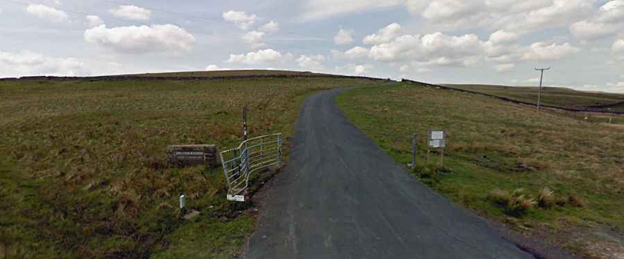
A narrow road to Cow Green Reservoir in England
Cow Green is a reservoir at an elevation of 510m (1,673ft) above sea level, located on the county border between Cumbria and County Durham, in England.

What is Cow Green Reservoir?
The reservoir is 2 miles (3 km) long, holds back 40,000 million litres of water, and was constructed between 1967 and 1971 to supply the industries of Teesside. Located high in upper Teesdale, around 300 people made up the construction team.
Is the road to Cow Green Reservoir paved?
Set high in the northeastern part of the country, the road to the reservoir is totally paved but pretty narrow, scarcely wide enough for two cars to pass at the same time.
How long is the road to Cow Green Reservoir?
The road to the reservoir is very steep, hitting a 9.0% of maximum gradient through some of the ramps. Starting at Langdon Beck, a village in County Durham, the ascent is 4.66km (2.9 miles) long, ending on a car park. A private gated road leads from the south side of the car park 2 miles to the reservoir dam and Cauldron Snout.
Is the road to Cow Green Reservoir open?
Access to the reservoir is typically open all year round but short term closures are common in winter due to dangerous weather conditions. As the area is high up, the weather may change suddenly and can be chilly even on a fine day. The water regularly freezes over in the winter.
Is the road to Cow Green Reservoir worth it?
The drive offers superb views to Cross Fell, Great and Little Dun Fells, Meldon Hill and Mickle Fell amongst others and these North Pennine peaks.