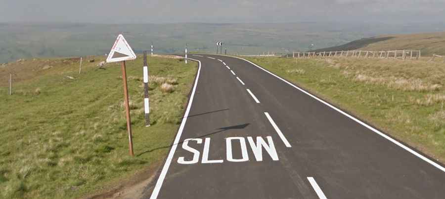
Harthope Moss is a very famous climb in England
Harthope Moss is a mountain pass at an elevation of 628 m (2,060 ft) above sea level, located in County Durham, in England. It's one of the highest roads in the country.

Where is Harthope Moss?
Located in the northeastern part of the country, the pass divides Weardale to the north and Teesdale to the south. It’s said to be one of the highest paved passes in England.
Is Harthope Moss Paved?
Nestled in the North Pennines range, the road to the summit, also known as Chapel Fell, is completely paved but very steep.
How Long is Harthope Moss?
The pass is 7.72 km (4.8 miles) long, running north-south from St John's Chapel, a village on the south side of the River Wear on the A689 road, to Langdon Beck, a village in County Durham, on the B6277 road.
How Steep is Harthope Moss?
The road is very steep and can be climbed from the west or the east. Starting from St John's Chapel, it’s 4 km long. Over this distance, the elevation gain is 341 m, and the average gradient is 8.3%, hitting a grueling 16% through some of the ramps. Starting from Langdon Beck, the ascent is 4.6 km long. Over this distance, the elevation gain is 273 m, and the average gradient is 5.3%, hitting 11% through some of the ramps.
Is Harthope Moss Worth the Drive?
Along the way, you’ll be rewarded with panoramic views across the Pennines. The landscape around is incredibly bleak, and high winds can hit all the way up to the pass.
Road suggested by: jorge manuel gómez sánchez