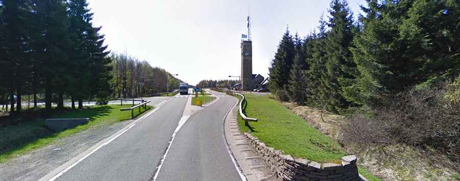
How to get by car to Signal de Botrange, the highest point in Belgium?
Located in the Hautes Fagnes (High Fens) region, within the Ardennes, in the province of Liège, Signal de Botrange is the highest point in Belgium, at an elevation of 694 meters (2,277 ft) above sea level.

Where is Signal de Botrange?
Signal de Botrange is situated in the eastern part of Belgium, near the border with Germany, within the Hautes Fagnes-Eifel Nature Park.
Why is Signal de Botrange famous?
At the summit, there is a parking lot, a weather station, and a stone tower called the "Baltia Tower," built in 1923. This tower was constructed to raise the height of the summit to 700 meters above sea level. As the highest point in Belgium, Signal de Botrange is a popular destination for visitors. Average and extreme temperatures are usually lower than in any other place in the country.
How long is the road to Signal de Botrange?
The road to Belgium’s highest point is fully paved. It’s called N676-N68. Starting from Eupen, the road is 18 km (11.18 miles) long.