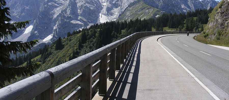
Roßfeldhöhenringstraße
The Roßfeldpanoramastraße is a toll-Alpine road located in the Alps of Berchtesgaden in the district of Berchtesgaden, Bavaria (Germany).

This road leads over the Roßfeld, a northern spur of the Göll, and is located between the Salzach river valley (east) and Berchtesgaden (west). In the south of the Roßfeldhöhenringstraße, the High Göll (2.522 m) is the highest summit. This toll road has a part on Austrian territory. The road climbs from an altitude of 850 m in Oberau and 750 m in Obersalzberg to 1,560 m at the crest.
The road, also known as the Roßfeld Ringstraße (Roßfeld Road) is a beautiful mountain road near Obersalzberg in Berchtesgaden. The Roßfeldpanoramastraße (formerly known as Roßfeldhöhenringstraße) was built between 1937 and 1940 as Eastern extension of the German Alps Motorway by the government agency ‘Deutsche Alpenstrasse’ (German Alps Motorway). You have to pay a small charge to drive around the road. This toll road is 15,4 km long (about 16.9 km until 1998), and the largest slope is 13%. With a maximum height of 1,560 m above the sea level, Roßfeldhöhenringstraße it’s the highest continuous road in Germany.
The road climbs up an elevation of 1.560m with an average gradient of 13%. It’s considered Germany's highest mountain road and even beats at its peak at an altitude of 1,540m the highest German passroad, the Riedbergpass nearby Oberstdorf. The road includes some steep sections. It provides more than 1,000m of altitude difference on its circuit. The experience of using this road is very impressive. The driver should choose Western ramp via Unterau and Oberau to enjoy afterwards 24% grade free fall on the descent.
Pic: Von Eweht - Eigenes Werk, CC BY-SA 3.0, https://commons.wikimedia.org/w/index.php?curid=30688007