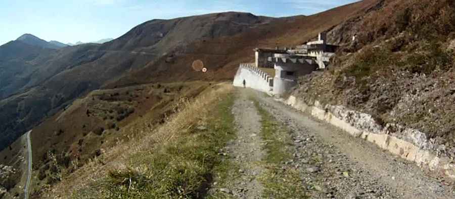
Driving the Military Brenner Grenzkammstrasse Road
Brennergrenzkammstraße is an old high mountain military road located along the border of Italy and Austria.

Where is the Brenner Grenzkammstrasse road?
It's situated near the Brenner Pass and runs along the border of Italy (the Autonomous Province of Bolzano – South Tyrol) and Austria (the southern district of Innsbruck-Land in the Austrian state of Tirol).
How long is the Brenner Grenzkammstrasse road?
The road is entirely unpaved, spanning 45km (27.96 miles) in length. It's narrow and very steep, with an average gradient of 8 percent. The surface becomes very slippery after rains. It is closed to motor vehicles.
Is the Brenner Grenzkammstrasse road open in winters?
Travelers should anticipate severe weather conditions. The road tops out at 2,247m (7,372ft) above sea level. It is impassable during winter months.
When was the Brenner Grenzkammstrasse road built?
Along the route, it’s possible to observe various military constructions and fortresses. This border ridge road was originally built during the First World War for military purposes, facilitating connections between different buildings and fortifications.
Pic: MrLampe321