The Ultimate Guide to Traveling the Katschberg Pass
Katschberg Pass is a high mountain pass at an elevation of 1,641m (5,384ft) above sea level, located in Austria.

Where is Katschberg Pass?
The pass is located on the boundary between Carinthia and Salzburg, in the southern part of the country.
Is Katschberg Pass paved?
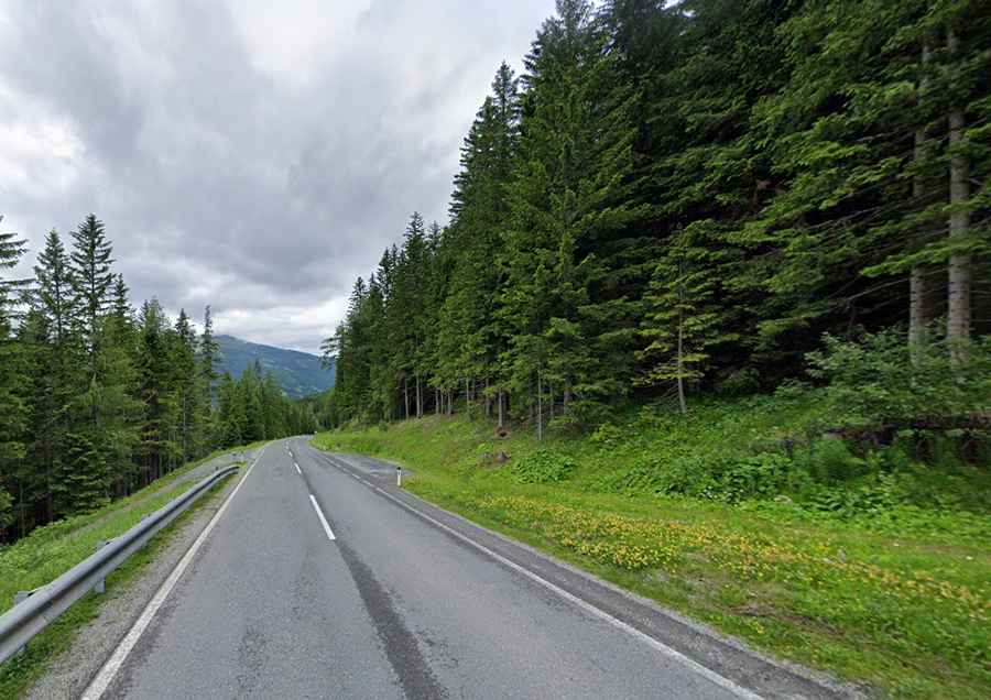
The road through the summit is totally paved. It’s called Bundesstraße B 99. It’s a very scenic drive, with narrow sections, missing central lines in some areas, and featuring very steep sections. Due to its steepness, there are traffic signs along the way warning you to use low gears.
How long is Katschberg Pass?
Set high in the Central Eastern Alps, the pass is 10.4 km (6.46 miles) long, running south-north from Rennweg am Katschberg (in the district of Spittal an der Drau in Carinthia) to St. Michael im Lungau (in the district of Tamsweg in the state of Salzburg).