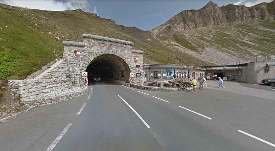
Driving the Hochtor Tunnel on the Grossglockner High Alpine Road, with breathtaking views of the Austrian Alps
Located on the border of the Austrian states of Salzburg and Carinthia, the Hochtor Tunnel ascends to an elevation of 2,504m (8,215ft) above sea level, making it a high mountain tunnel.

Is Hochtor Tunnel paved?
The Hochtor Tunnel is nestled within the Hohe Tauern mountain range, a part of the Central Eastern Alps' primary chain. It's traversed by the Grossglockner High Alpine Road, a toll road that's entirely paved. This road passes beneath the summit of the pass via the tunnel.
How long is the Hochtor Tunnel?
Measuring 311m (340yds) in length, the Hochtor Tunnel is the highest point of the Grossglockner High Alpine Road. The tunnel's construction took place between 1933 and 1935. Starting from Pockhorn, the climb to the tunnel covers a distance of 17.4 km and ascends 1,400 meters, averaging a gradient of 8%.
Is the Hochtor Tunnel open?
The Grossglockner High Alpine Road, known as the highest paved mountain road in Austria, is typically accessible from early May until the end of October. However, access may vary outside the standard opening hours due to changing weather conditions at such high altitudes.