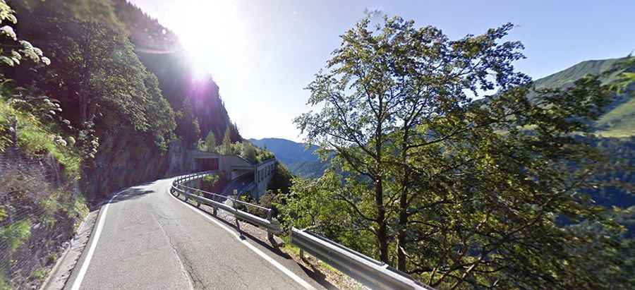
Plöcken Pass-Passo di Monte Croce Carnico is an absolute must for road lovers
Plöckenpass-Passo di Monte Croce Carnico is an international mountain pass at an elevation of 1.370m (4,494ft) above sea level, located on the border of Austria and Italy.

Where is the Plöckenpass-Passo di Monte Croce Carnico?
Set high in the Carnic Alps mountain range, the pass links the Province of Udine in the northeastern Italian autonomous region Friuli-Venezia Giulia and the district of Spittal an der Drau at the western rim of the Austrian state of Carinthia. The pass was in use since the Middle Ages as part of the trade route between Aquileia and Salzburg.
How long is the Plöckenpass-Passo di Monte Croce Carnico?
The road to the summit is totally paved. It’s called Strada Statale 52bis in Italy and Bundesstraße 110 Plöckenpass Straße in Austria. The pass is 60km (37 miles) long running south-north from Tolmezzo (Province of Udine, in Italy) and Oberdrauburg (in the state of Carinthia in Austria).
Is the Plöckenpass-Passo di Monte Croce Carnico challenging?
The drive is pretty defiant, with twelve hairpin bends and four tunnels. It hits a 13.0% of maximum gradient through some of the ramps. In terms of driving, the pass is a lot of fun, especially on the descent towards Italy. Risk of rock slides. The road is pretty narrow in parts. The pass is usually kept open all year round.
Is the Plöckenpass-Passo di Monte Croce Carnico worth it?
To drive the road without stopping will take most people between 1 and 1.5 hours. Remnants of numerous bunkers and tunnels from WWI are still visible today. The summit hosts an open air museum with restored trenches and bunkers. In the Middle Ages, the Plöcken Pass was still called Kreuzberg (Monte Crucis), which is where its Italian name Passo Monte Croce Carnico comes from.