A difficult road to the historic Veretsky Pass
Pereval Veretsky is a mountain pass at an elevation of 843m (2,765ft) above sea level, located in the Inner Eastern Carpathian Mountains, in Ukraine.
Where is Veretsky Pass?
The pass, also known as Verecke Pass, is located on the boundary between Zakarpattia and Lviv oblasts, in the western part of the country. Near the summit, there are a couple of memorial monuments.
Why is Veretsky Pass famous?
Veretskyi Pass has been a significant historical route for over a thousand years. In 895, the Hungarian tribes crossed the pass into the Carpathian Basin to establish the Kingdom of Hungary. It was later used by the Mongols in 1241 during their invasion and by Francis Rákóczi II in 1703 as part of his anti-Habsburg uprising. The pass saw heavy fighting in both World Wars, with battles between Austrian-Hungarian and Russian forces during WWI, and further confrontations in WWII, with remnants of the Árpád Line fortifications still visible. In 2008, the Hungarian government erected a monument at the pass to commemorate the Hungarian people's passage into Hungary in 895, designed by Hungarian sculptor Péter Matl.
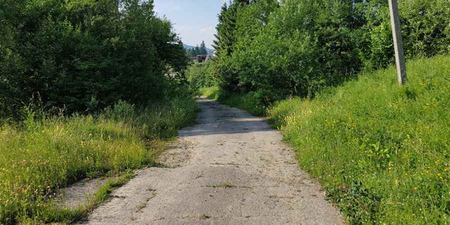
Is Veretsky Pass paved?
The road to the summit is paved (in pretty bad shape), but from the north, there are some gravel sections. It’s not an easy drive, especially if you are not from Ukraine. The quality of the roads (especially mountain roads) can be difficult if you’re not used to them. Since 1980, the pass has not been much used as it has been bypassed by major highways.
How long is Veretsky Pass?
The road through the pass is about 27km (17 miles) long, running north-south from Tukholka (a village in Stryi Raion, Lviv Oblast) to Nyzhni Vorota (a village in Volovets Raion, Zakarpattia Oblast).
Pic: Максим Мадяр