Road Trip Guide: Conquering Pancic's Peak in the Kopaonik Mountains
Pančić's Peak is a high mountain peak at an elevation of 2,017 m (6,617 ft) above sea level, located on the border of Serbia and Kosovo.

Why is it Called Pančić's Peak?
On 7 July 1951, the peak was renamed after the Serbian botanist Josif Pančić, whose remains were buried at the top in a small mausoleum located next to a radio tower. It was built by architect Vladimir Vladisavljević to mark 50 years of mountaineering in Serbia. The mausoleum is constructed from Kopaonik granite and stone, and on it, there is a plaque with an inscription for hikers. Access to the mausoleum is officially banned.
Where is Pančić's Peak?
Set high in the Kopaonik mountain range, the peak is located on the border between the municipality of Raška (in southwestern Serbia) and the Mitrovica District (in northern Kosovo).
How to Get to Pančić's Peak?
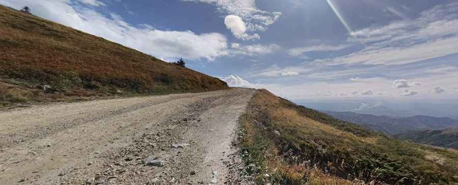
In Serbia, the road to the summit is completely unpaved and usually impassable in winter. A 4x4 vehicle is recommended. Starting from the paved P211 road, the road is 4.0 km (2.48 miles) long. The drive is quite steep, with an elevation gain of 296 m and an average gradient of 7.4%.
In Kosovo, there is no road to the summit.
Pic: Aleksandar Lazović