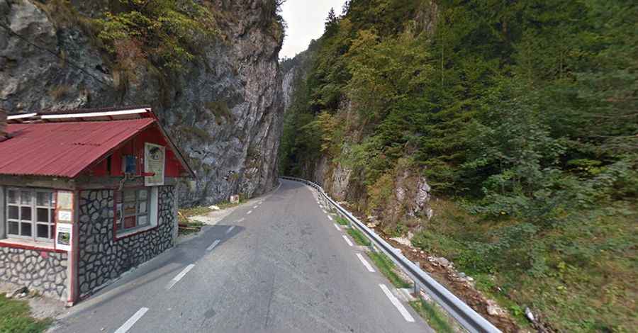
A narrow road through the Dambovicioara Gorges
Located in the northeastern part of Argeș County, in Romania, Cheile Dâmbovicioarei is a very scenic canyon carved by the Dambovicioara River.

Located in the northeastern part of Argeș County, in Romania, Cheile Dâmbovicioarei is a very scenic canyon carved by the Dambovicioara River.
Where is Dambovicioara Gorges?
The gorges are located in the foothills of Piatra Craiului Mountains, within the Piatra Craiului National Park, in the karstic zone of Rucăr, on the southern side of Piatra Craiului Mountains, on the left side of Dambovicioara Valley.
Why are Dambovicioara Gorges famous?
The gorges are 5 km long, with high cliffs straight to the side and across the Dambovicioara River, with vertical walls that sometimes exceed 200 meters in height. These streams may dry during the summer, especially in the gorges area, or increase their water flows during the snow melting and spring rain periods (May - June). The gorges have an imposing appearance and are part of a series of at least 20 key ponds located in the Dambovita area. It is a wonderful place for nature lovers; you will be amazed by its beauty and the imposing stature of the cliffs. How a river only 1-2 m wide can create a natural wonder unique in the world. On the walls can be seen Jurassic limestone bedding-shiny gray-white, arranged in banks thick at the bottom, and white limestone, the plates from the top.
How do I get by car to the Dambovicioara Gorges?
Tucked away in the central part of the country, the road through the gorges is fully paved. It’s called 730. The road is 5.1 km (3.16 miles) long, running south-north from Podu Dâmboviței towards Dâmbovicioara.
How long does it take to drive through the Dambovicioara Gorges?
Plan about 10 minutes to complete the drive without any stops. The drive features a high risk of rock slides. The gorges are an important touristic objective, with abundant natural beauties, deer, fresh air, and crystal-clear waters. A must-see tourist objective is the Dambovicioara Cave. It was discovered more than 400 years ago in 1579 and has electric lighting since 1980.