Travel guide to the top of Pelister
Pelister is a high mountain peak at an elevation of 2,586m (8,484ft) above sea level, located in the Republic of North Macedonia. It's one of the highest roads in the country.

Where is Peristeri?
The peak, also known as Baba Mountain and Peristeri, is located west of Bitola, in the southwestern part of the country, within the Pelister National Park. It’s said to be the third-highest mountain in North Macedonia.
What’s at the summit of Pelister?
At the summit, there is a TV transmitter using an additionally guyed lattice steel mast as an antenna tower and a monument of Dimitar Ilievski – Murato, the first Macedonian ever to climb the highest peak of the world, Mount Everest. He died on the descent of Mt. Everest.
Is Pelister worth the drive?
The summit provides stunning views of the Pelagonia Valley, Lake Prespa, Nidže, Galičica, Jakupica, and the city of Bitola.
Can you drive to the top of Pelister in North Macedonia?
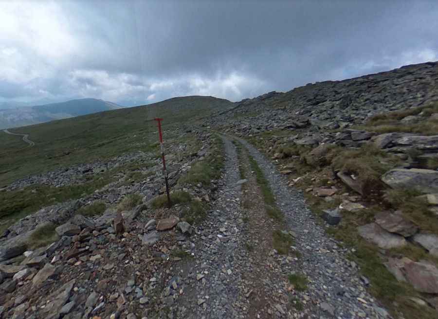
Tucked away in the National Park Pelister, the road to the summit, also known as Pelister, is totally unpaved. A 4x4 vehicle is required. The last part of the road is closed to private vehicles.
How long is the road to Pelister in North Macedonia?
The drive is very steep, hitting a 13% maximum gradient through some of the ramps. Starting at Magarevo, the road to the summit is 14.5km (9 miles) long. Over this distance, the elevation gain is 1,213 meters, with an average gradient of 8.36%.
Is the road to Pelister in North Macedonia open in winter?
Set high in the Baba Mountain or Varnoundas, this road is usually impassable from late October through late June or early July. Some years, snow lingers at the peak even in July, and in certain areas, the new snow meets the old from previous years.
Pic: Kristijan Temelkov