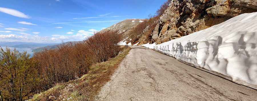
Livada Pass: a road you'll never forget
Livada Pass is a high mountain pass at an elevation of 1.599m (5,246ft) above sea level, located in the Republic of North Macedonia.

Where is Livada Pass?
The pass is located in the southwestern part of the country, near the Albanian border, within the National Park Galichitsa.
Is Livada Pass paved?
The winding road to the summit is called P504. The road is totally paved but pretty narrow. It’s pretty steep. The Prespa side is more moderate incline, but Ohrid side is very windy and very steep. With 20 hairpin turns, this route is not recommended if your passengers are prone to car sickness. It's an old military road.
How long is Livada Pass?
The road is 27.6km (17 miles) long running west-east from Trpejca, a fishing village at the foot of the Galičica Mountain to Oteševo, a deserted village in the Resen Municipality.
Is Livada Pass worth the drive?
The road is very scenic. From the top you can see three countries on a clear day: Macedonia, Greece and Albania.
Is Livada Pass open in winter?
Set high in the Galičica mountains, the pass is usually closed from November first to mid-March. The road even in summer is a bit difficult due to the potholes occurring during winter months and they are not always repaired on time.
Pic: Laurentiu Vilcu