Neringa Road: Discover the Curonian Spit Peninsula
Neringa Road is a very scenic drive through the Curonian Spit peninsula, in the Baltic Sea of Lithuania. The road is known for its natural beauty and outdoor activities.
How long is Neringa Road?
The Neringa Road is about 100 km (62 miles) long. It runs along the Curonian Spit, commonly known as the Lithuanian Sahara, and links various villages and natural attractions. Composed of four former fishing villages—Pervalka, Preila, Juodkrante, and Nida—Neringa stretches for 32 miles (52 kilometers) along the Curonian Spit till it meets the Russian exclave of Kaliningrad.
Is Neringa Road paved?
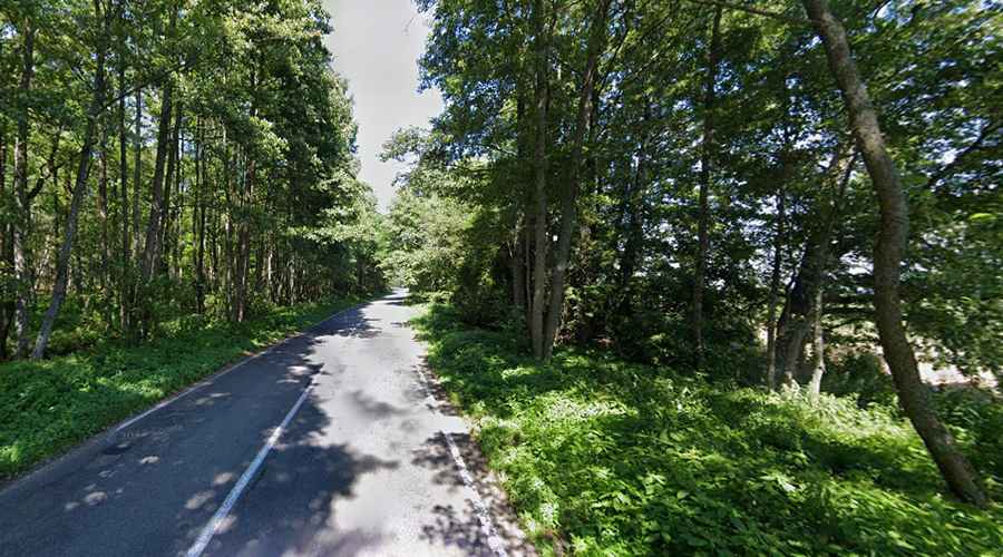
The road is fully paved and runs through the dunes and villages of the Curonian Spit. Some large swatches of breathtaking dunes remain. However, since the 19th century, the landscape is dominated by pine forests. The best time to visit Neringa is in the summer (June to September) when the days are long, the light is crystal-clear, and the weather is mild (if sometimes rainy). It is so narrow that from the highest points you can see water on both sides: the Baltic Sea on the right, and on the left the lagoon, which is a sort of big lake.
What should I know about Neringa Road?
Located in the western part of the country, near the Russian border, this road offers a unique driving experience through the Curonian Spit, known for its dunes and diverse birdlife, including Europe's largest cormorant colony. It passes through tranquil villages and nature reserves, providing access to some of the most scenic coastal landscapes in Lithuania.